Hiking Mount LeConte via Alum Bluff Cave Trail
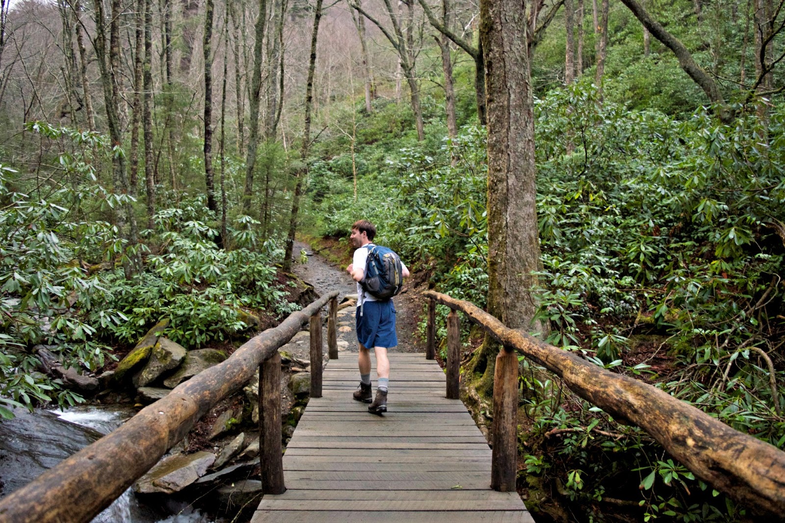
Today I'm recapping our awesome hike to Mount LeConte via the Alum Cave Trail. I read about this hike last year while researching hikes in the area for a trip I was going on in November but immediately knew I had to save the hike to do with Michael at a later time. Lucky for me, that later time came this past week and I'm so happy I waited because Michael and I LOVED this hike! For the first mile you hike along Alum Cave Creek which is a beautiful mountain river with the clearest, purest looking water I've ever seen; the water is so clear it looks like it's not even there in some places! The climb is gradual along the first mile and up until the first landmark you hike to called Arch Rock. It's a huge rock arch that has a staircase winding up through the center of it which is so cool. After Arch Rock you'll hike up to Inspiration Point which offers stunning views as you hike around a sharp curve in the trail. The climb from Arch Rock up to Inspiration Point is the beginning of a long and arduous uphill climb to the summit. At mile 2.2 you'll arrive at Alum Cave which actually isn't really a cave, it's a bluff that's about 80 feet tall and 500 feet long which makes you really feel so insignificantly small standing under it. We were really lucky to be there by ourselves when we hiked up (it's a good idea to start this hike very early to avoid crowds) because we got to take a breather, get some pictures and really take in the expansive scenery without other people being in the area. From this point you continue to hike up and up and up for what seems like forever. You'll hike against several rock ledges with cables that have been built into the side of the mountain as handrails and at some of these points there is water that flows down across the trail in little waterfalls. Throughout this period of hiking the trail will open up with amazing views of the surrounding mountains and valleys. We were so lucky and at a few of these outlooks we got to experience this wild fog billowing out of the mountains below and shooting past us. If you watched my Instagram story or the Instagram story takeover I did for The Outbound you know what I'm talking about. After a few miles you'll reach Mount LeConte Lodge. This little area is situated in a little glade below the summit and has multiple cabins with fantastic views you can rent out for an overnight trip! The cabins are very small and simple and the only way to get to them is to hike up the mountain. We hiked past here and up to the summit which isn't an outlook but rather a huge pile of rocks. We added a rock to the pile and decided to keep hiking a little bit further out to Myrtle Point. I definitely thought we were going to be socked in and have no views because the fog was so thick at the summit, but in my stubbornness I insisted we hike out to the overlook just in case. To our surprise, right as we reached the overlook all the clouds lifted and the fog was billowing out of the valleys below, unveiling an amazing view of the surrounding mountains! We seriously got so lucky! We stopped here and enjoyed some sandwiches, chips and chocolate before getting up and beginning our long journey downhill. According to Google Maps, hiking out to Myrtle Point and back is 11.5 miles round trip.
As I mentioned before, last fall I was in the Smokies with Jessie and we hiked Charlies Bunion. I chose Charlies Bunion over LeConte because it was a shorter hike but still rated as strenuous so I felt would give us a good feel for the Smokies without really overdoing it. Personally I did not think Charlies Bunion was a strenuous hike at all; my heart rate was certainly elevated but I was breathing steady and didn't feel like I was dying. In comparison I felt Mount LeConte was definitely strenuous. LeConte has about 1,100 feet more of elevation gain and is almost three miles longer. I had to stop multiple times to catch my breath and let my heart rate slow down a bit and on our way down we encountered groups of hikers that were turning around. See the chart below for a comparison:
While I absolutely loved hiking Charlies Bunion, I thought the hike to Mount LeConte blew it out of the water! If you are trying to decide between the two hikes, I would go with Mount LeConte.
But please keep in mind I consider myself to be in very good physical condition and have hiked many times in my life, so while I did not find Charlies Bunion to be strenuous, other individuals may think it is. Both hikes are seriously awesome, it's just Mount LeConte was much more fun and had a lot more to offer in terms of changing terrain and geological features.
For more information on the hike go here.


