
Backpacking the Grayson Highlands Pt. I
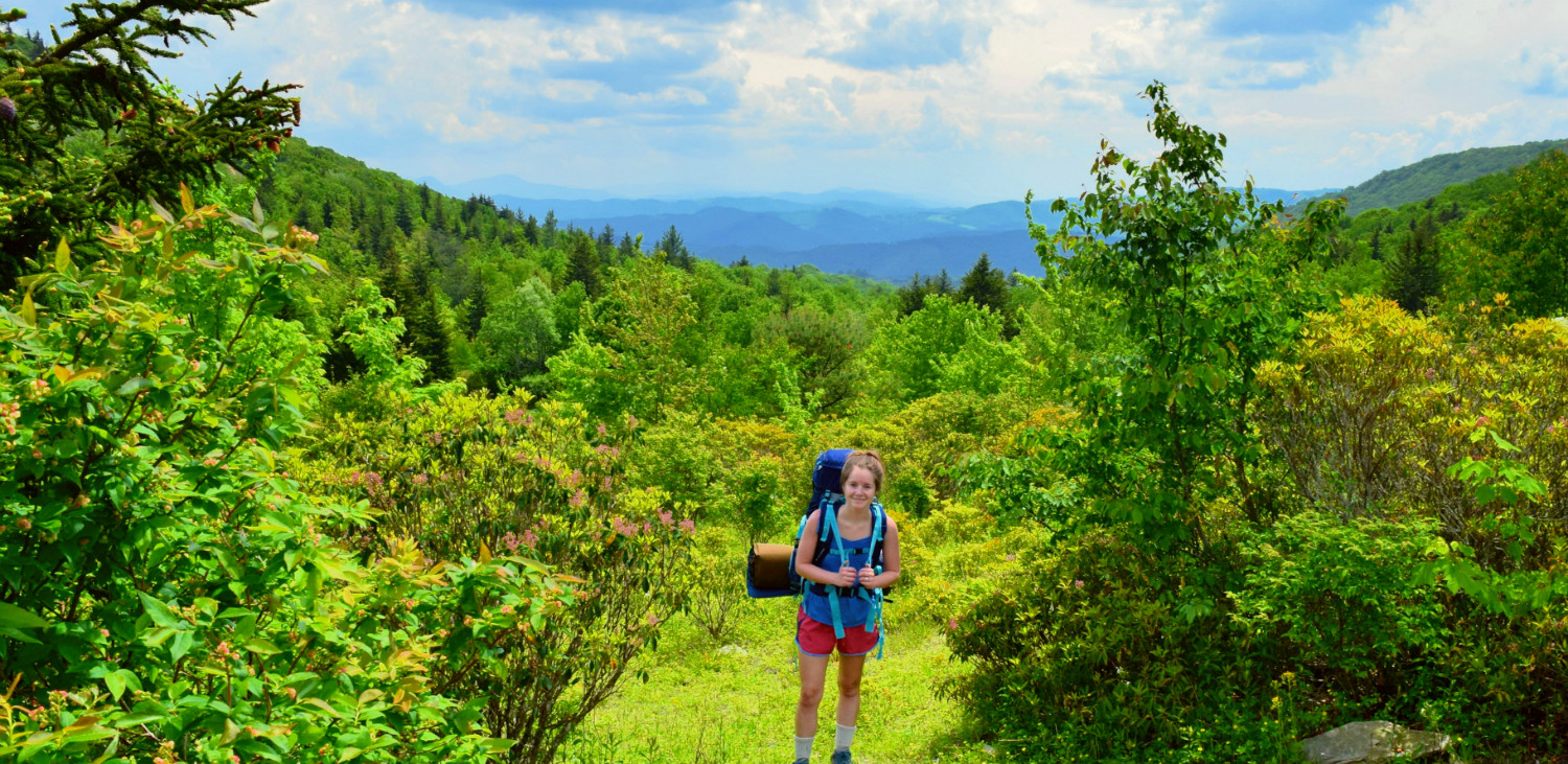


On our second day in the Grayson Highlands Michael and I were fly fishing when he suggested that we go backpacking and stay overnight in the highlands near Mount Rogers. We talked out the details and decided that we would give it a try; if the packs we had fit everything we needed (we only had one backpacking pack with us and it was mine), we would spend the night. After fly fishing we got back to the campground and packed everything up and it turned out that everything we needed for the night fit within the two backpacks we had. At around 3:30pm we headed to the overnight parking area and began our hike to Mount Rogers. The hike was relatively easy with a few short uphills but nothing was too taxing. My pack was a little heavy but I was too excited to be staying overnight in the Highlands to notice. All afternoon we had been hearing thunder off in the distance but after a few hours of hiking we noticed the thunder became more frequent and it was getting closer. After one particularly loud grumble of thunder the wind began to pick up and we knew we had to rethink our hike. The silver underside of the leaves were beginning to show and growing up my dad always told me when you start seeing the undersides of leaves that means it’s going to rain, soon. I looked at Michael and asked if we should keep hiking, go back, or get off the trail. He suggested we turn around and head back towards an area we had seen about a quarter mile behind us that looked good for camping. As we began to head back a huge crack of thunder sounded and the wind really picked up. We abandoned all plans and immediately got off the trail to find a good spot to set up the tent. Within 20 minutes we had picked a spot, set up the tent and gotten all the gear inside and only had seconds to spare before the rain started coming down in buckets. We relaxed in the tent listening to the storm roll over us (it was a big one- lots of lightening right over our heads!) and we both drifted off for a lazy rainy snooze about 25 minutes after the storm started. I'll give you the rest of the story in Part 2 of this post!
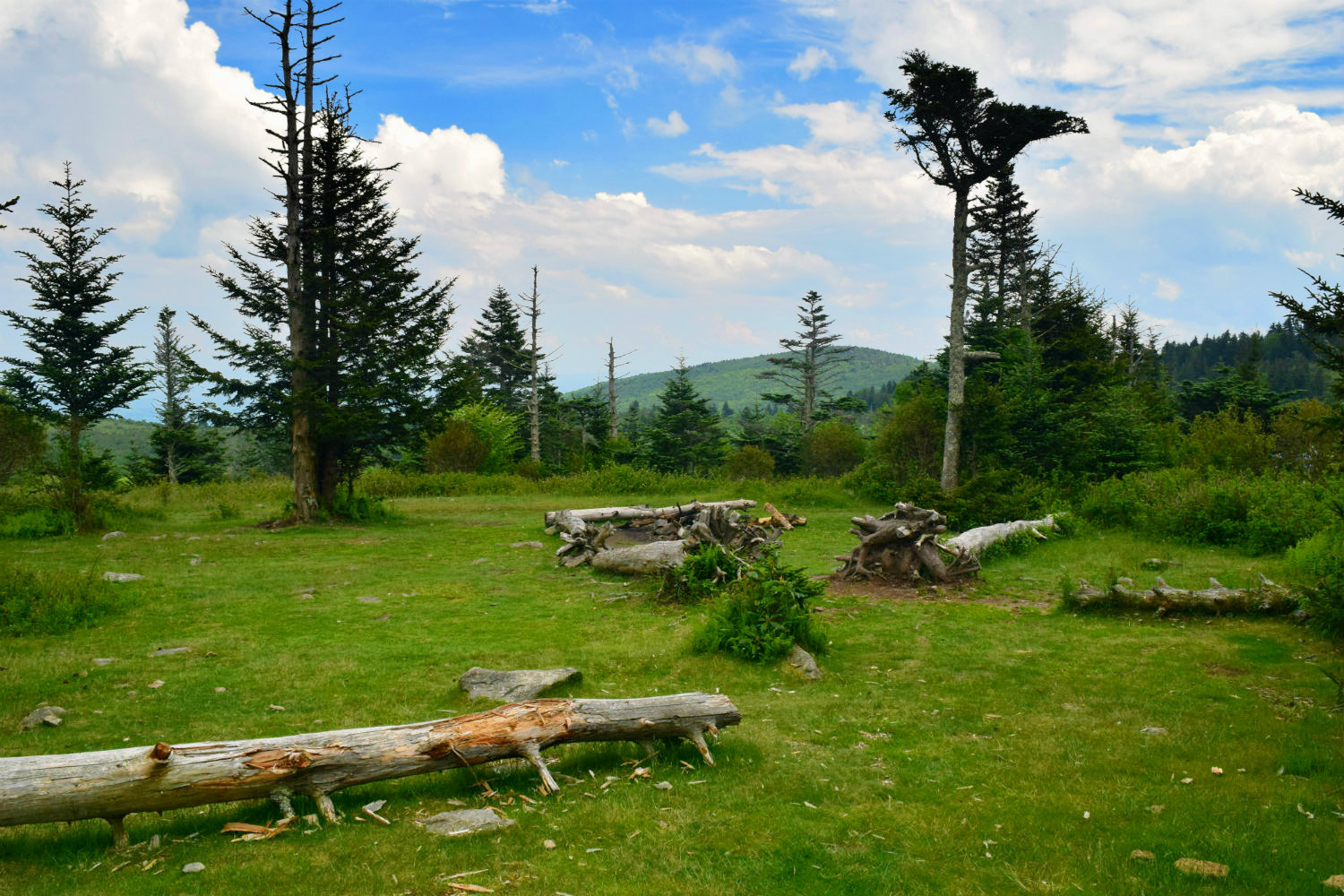
Directions to our campsite: We started by parking in the overnight backpacking lot within Grayson Highlands State Park. From here we followed the spur trail to the Rhododendron Trail. When we got to the top of the hill we continued straight. When you get to the top of the hill there's a big area where you'll see a lot of signs. If you continue straight you'll have the option of going left or right on the Appalachian Trail, go left. Follow this trail for about .6 miles until you hike up a slight uphill and come to a sign. The sign has a map of the Grayson Highlands/Mount Rogers Recreation Area. There will also be another sign that says Wilburn Ridge. At this point, go through the gate and follow the Appalachian Trail straight ahead of you/slightly to the left. Hike the Appalachian Trail for two miles past this point. When you get to Rhododendron Gap you will take a left onto the Crest Trail. Hike until you see a sign that says "water" and if you get to a metal gate you have gone too far. When you see the sign for water take a left and follow this a couple hundred feet. You will see some big old mossy pine trees and some grassy clearings. That is where we camped! Those are our exact directions of how we got there because we had originally hiked a bit farther on the AT but that is the most direct way to get to where we camped.
My next post will have the rest of our trip, pictures of our camp location and directions to exactly where we camped in the Highlands :)