
Directions for Backpacking Fish Hawk Cliffs & Indian Head
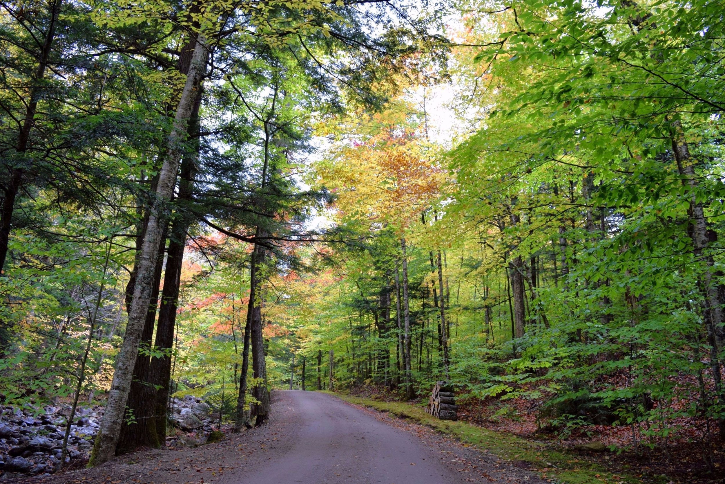
You start by hiking up a two mile dirt road.


The first outlook we came to on the trail

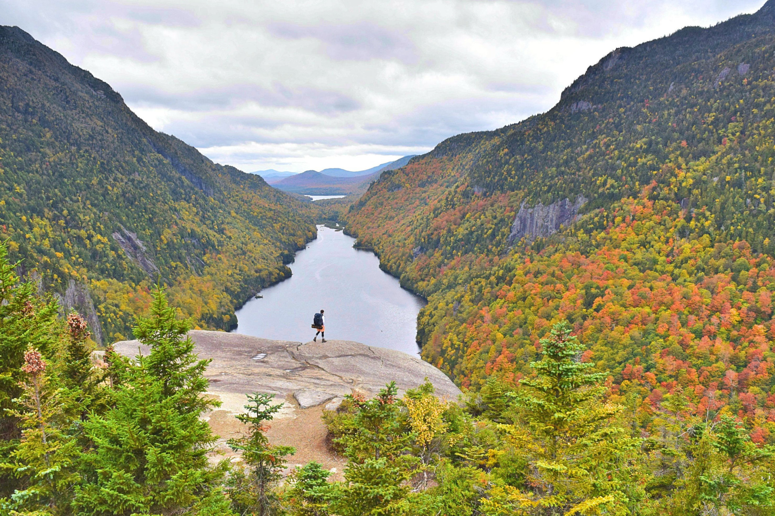
The second outlook we came to, right above the main cliffs & the first view of the Ausable Lakes
Indians Head overlook from the top cliff


The Gothics are up to the left in the shot.

Me at the bottom cliff on Indians Head
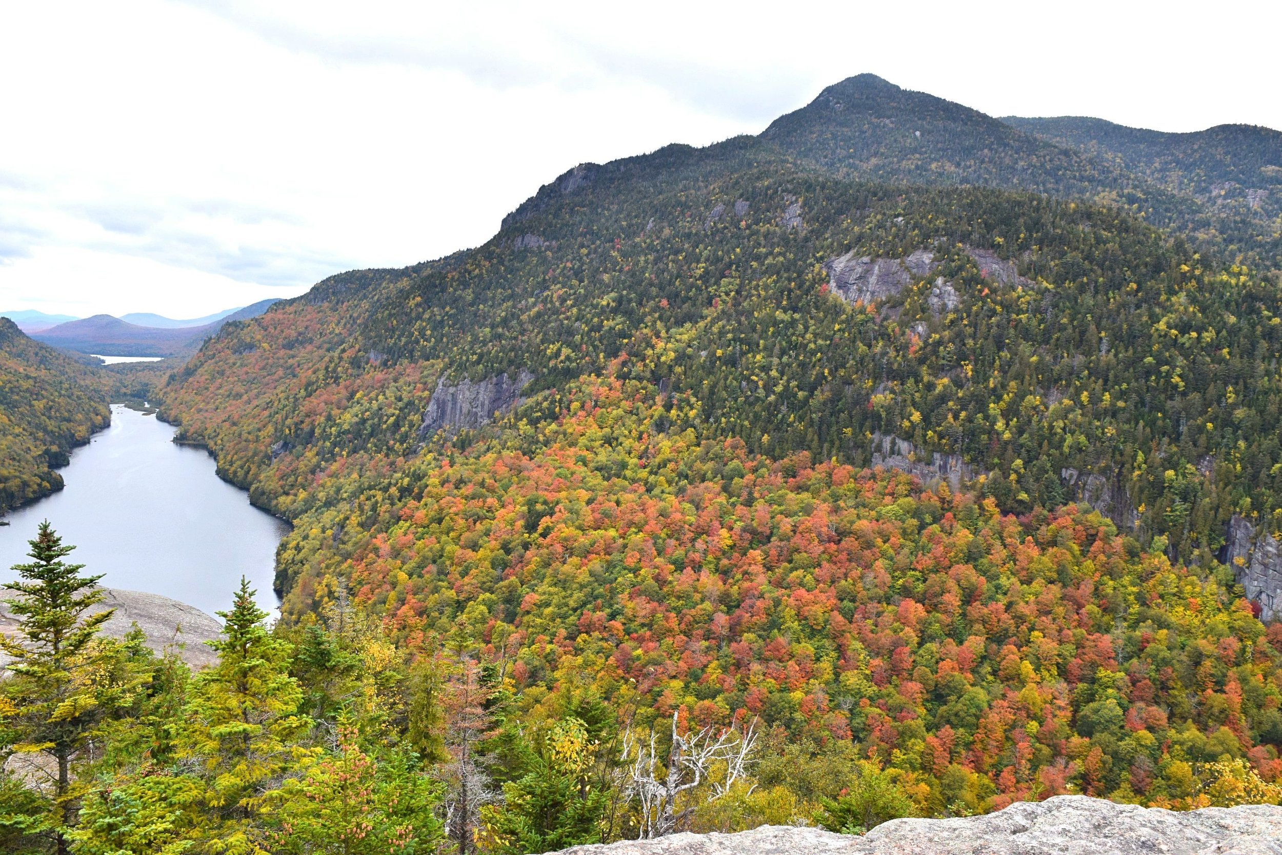
Fish Hawk Cliffs to the bottom left of the shot

A full panorama of the Indian Head overlook looking out to the right. You can see how the lake wraps around.


The fourth overlook we came to after leaving the main outlook. This is on top of Fish Hawk Cliffs

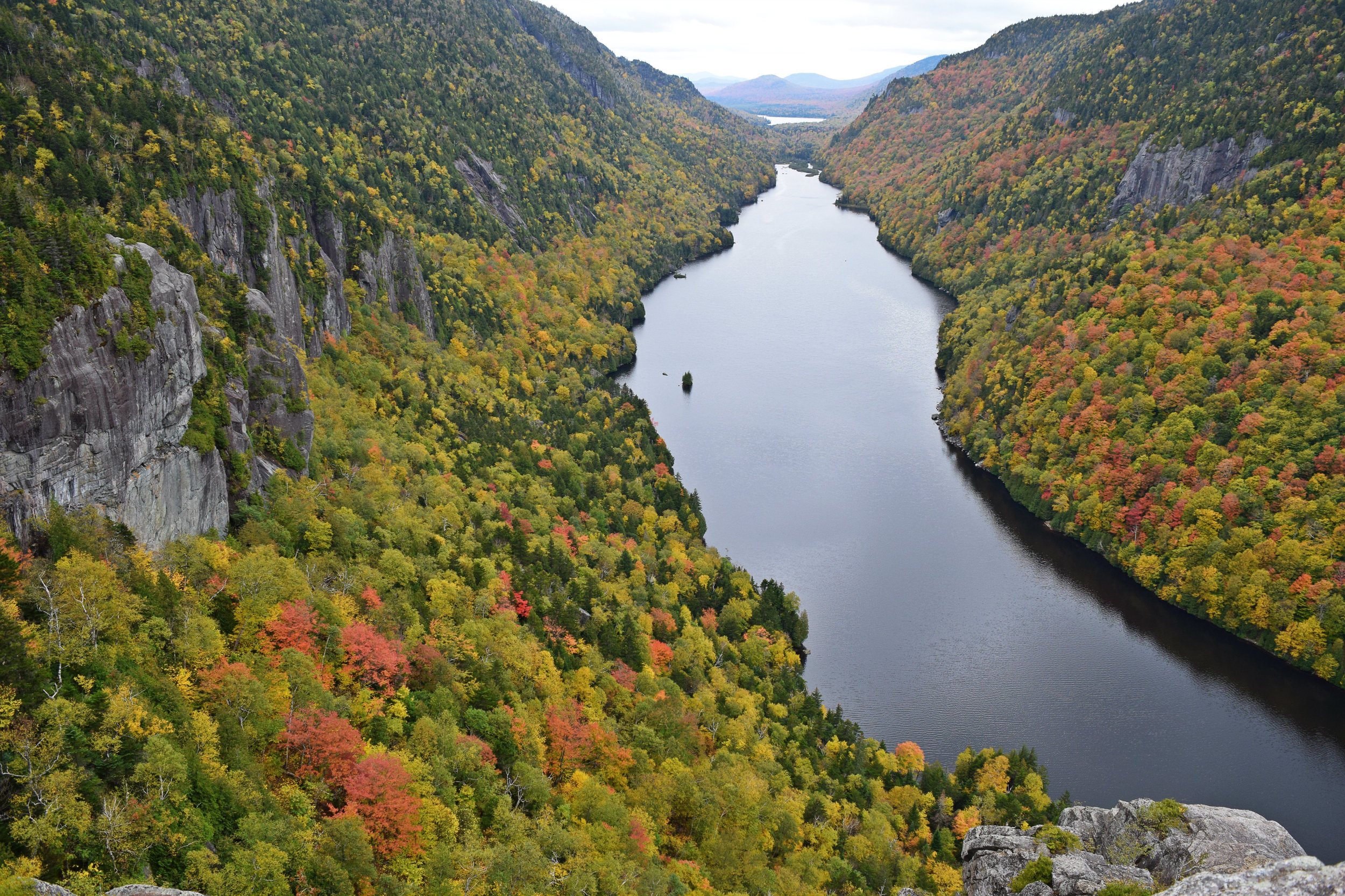
View from Fish Hawk Cliffs

Our campsite right beside the creek.
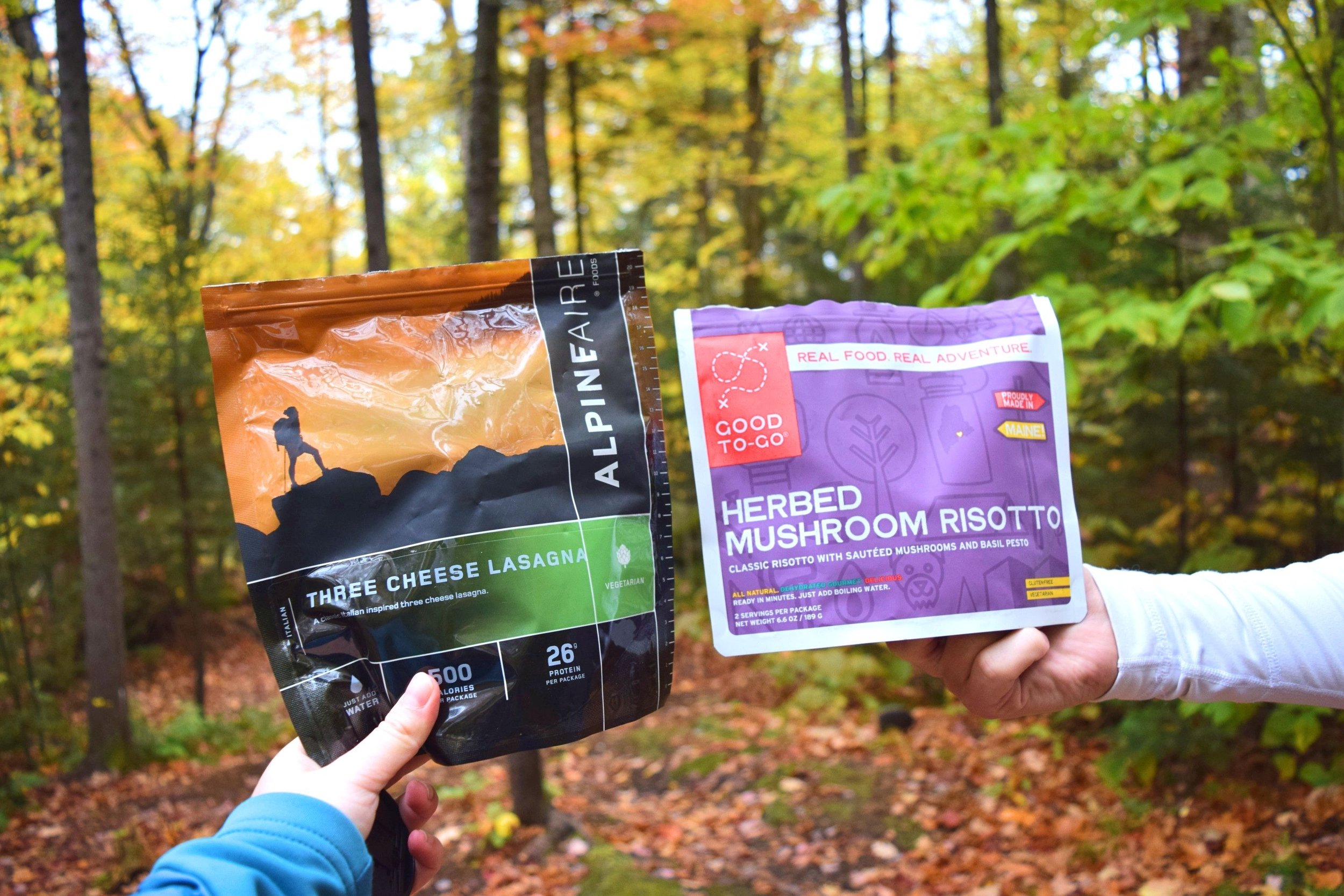
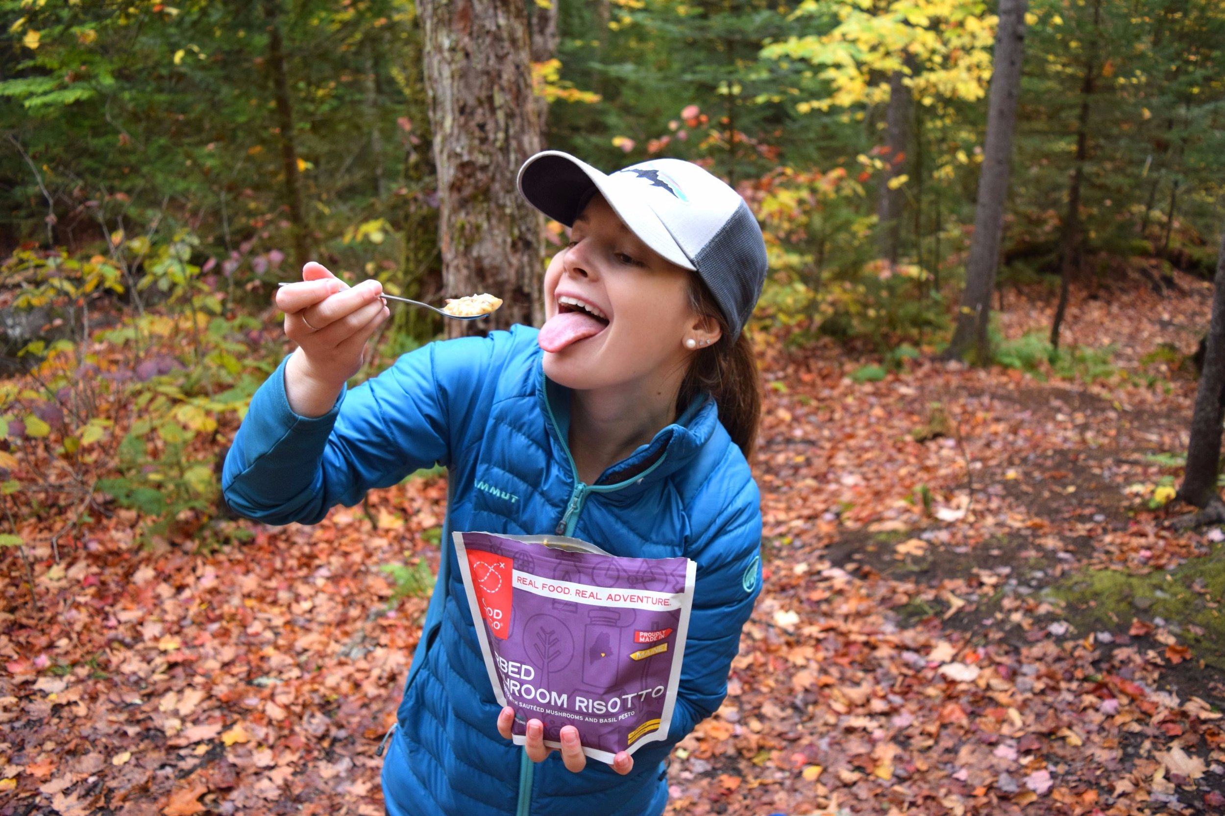
Dinner!


Directions: Starting at the designated parking area at the Ausable Golf Club, hike up the road towards the club house for half a mile. At half a mile take a left down Lake Road; there is a wooden sign on the left side of the road and it is in between the two tennis courts. Be sure to sign in to the back country at the kiosk if you're staying overnight! From this point hike two miles up the dirt road. The road is slightly uphill and winds beside Gill Brook Creek. A little over two miles into the hike take a left up the Gill Brook Trail. You will hike this for 1.2 miles, also, every time you see a trail marker that says "easy" or "scenic" take the scenic route! It isn't harder than the easy trail and you'll see lots of little cascades and waterfalls. At 1.2 miles you'll come to a trail marker. Take a right up the mountain towards Indian Head. When you get to the top of the mountain (a little after you climb the wooden ladder) you'll come to another intersection. Take a right and go out for a quick view of the mountains before retracing your steps back and continuing straight around the loop. You will come out on top of Indian Head and the views are phenomenal! (A little before you reach Indian Head there will be an outlook that provides a view of the Ausable Lakes.) After soaking in the views at the upper and lower cliffs, keep hiking around the loop to Fish Hawk Cliffs. Fish Hawk Cliffs offers another set of views of the lake plus a view of Indians Head from below. Go back to the trail and continue on back down to the trail markers. If you are backpacking there will be a few campgrounds between Fish Hawk Cliffs and the trail marker. The first two sets of campgrounds are not by the creek but are flat, have fire rings and lots of space. We opted for the third set of campgrounds down by the creek!
Find the trail map for the area here.